
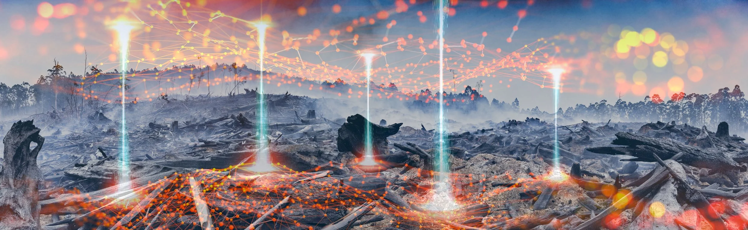

Global forests cover about 30% of the world’s land surface and hold great value for both humans and the environment (8). In recent years, we’ve witnessed the shocking imagery of Australia, the western United States, Europe, and the Amazon rainforest engulfed in flames, the unprecedented intensity, duration, and extent of the fires inflicting irreversible damage on countries, economies, ecosystems, and the atmosphere. Managing and conserving forest resources remains a top priority, especially in the face of a rapidly changing climate and growing population, but “we need a clearer picture of the current state of the planet’s natural systems; how they are changing and what the most effective intervention strategies are” (18). Mapping and monitoring global forests are crucial to understanding how to properly manage and protect them, especially in monitoring wildfires and illegal deforestation, as well as knowing which forests to prioritize preserving. Identifying and monitoring forests with strong conservation value and high carbon stock is also a huge leverage point for targeted intervention of Artificial Intelligence (AI).
Through the application of AI, forest mapping and monitoring systems are becoming better equipped to map and monitor carbon stocks, emissions, and biomass at higher spatial and temporal resolutions, to support more sustainable forest management and use (1)
Carbon Stocks and Sinks
Forests are critically important for removing carbon from the atmosphere, producing oxygen, and supporting the majority of Earth’s biodiversity. Forests are the major terrestrial ecosystem responsible for carbon sequestration and storage.
Carbon sequestration is the process of removing or capturing carbon dioxide (CO2) from the atmosphere, whether by natural or artificial means.
The Amazon region alone holds about 20% of the total carbon contained in the world’s terrestrial vegetation (6). The Amazon is an example of what one would call a carbon sink, and contains a high carbon stock. A forest’s carbon stock is the total amount of carbon that has been sequestered from the atmosphere and is now stored within the forest ecosystem, including living biomass, soil, and even dead wood and litter (9). A carbon sink describes “the natural reservoir that accumulates and stores sequestered carbon”, which can both gain (sequestration) and lose (e.g. emission by forest fires) carbon (9). A forest is considered a sink if it stores more carbon than it loses in a given year.
Despite their importance in mitigating climate change “anthropogenic activities like deforestation continue to drive forests from carbon sinks to sources” (1). Deforestation, whether climate- or human- caused, poses a growing threat to not only the future of our forests but the health of our planet, as it releases a forest’s stored carbon back into the atmosphere, thus decreasing crucial carbon sinks. Rampant deforestation due to illegal logging, mining, cattle ranching, soy plantations, and of course, wildfires, are all examples of threats to forests, especially in tropical regions like the Amazon (6).

The World’s Forests Mapped. Source: www.vividmaps.com
Leveraging Existing Forest Inventory with AI
To help answer the question: How can we leverage existing forest methodology with AI?, Microsoft created AI for Earth, which makes Microsoft’s AI expertise and technology available to those working in the areas of climate, hydrology, biodiversity, and agriculture (18). A common link between those working to advance forest sustainability around the globe is the need for accurate forest inventories in order to understand and make decisions supporting their management goals, whether for conservation or extraction purposes. Taking forest inventories is traditionally labor-intensive, with foresters manually counting thousands of acres of trees, as well as slow, costly, and occasionally unreliable (21). Historical forest inventory techniques involve on-the-ground measurements of small “sample” plots and statistical sampling in order to estimate the forest as a whole (18). But start-ups, multi-national corporations, research labs, and NGOs around the world are finding better ways to conduct forest inventories and deforestation monitoring. NCX, formerly known as SilviaTerra, an AI for Earth grantee, came up with a software-based approach to assess forests using satellite imagery and machine learning (18). Their AI-powered algorithm “greatly reduces the amount of fieldwork needed to accurately assess forests'' (18). The goal of NCX is to “build a data library and powerful AI tools that can provide an up-to-date map of US forests for the first time in history,” enabling “data-driven management for biodiversity, carbon sequestration and other services provided by forests” (18) (28).
“At EcoVision Lab, we use deep learning and remote sensing to map and monitor carbon stock globally. Our aim is to provide a publicly available, transparent, globally consistent tool available to everyone: from smallholder farmers, to local administration and international companies. All stakeholders shall have access and use the same map to allow for fact-based, transparent decision-making”
Carbon Stock Mapping
The EcoVisionLab, part of the the Photogrammetry and Remote Sensing Group at ETH Zurich, teamed up with Barry Callebaut, a leading manufacturer or high-quality chocolate, leading to the development of “a large-scale, publicly available...indicative High Carbon Stock (HCS) map that identifies forests with high conservation value and areas where deforestation would cause the highest carbon emissions'' (4). The EcoVisionLab at ETH Zurich has “the capability to develop highly automated AI solutions'' and “has long-standing experience in combining machine learning with remote sensing to address ecological challenges” (4). Barry Callebaut requires their suppliers to identify the forest areas that need protecting, and those that can be developed for agriculture, a type of assessment that is traditionally difficult, time consuming, and costly, obtained through field measurements (4). To create a more efficient, less expensive, and large-scale solution, the team at ETH Zurich utilized data from a NASA laser scanner attached to the International Space Station and imagery from the European Space Agency (ESA), which allowed for large areas to be mapped by applying AI, limiting on-the-ground measurements to only very critical locations (4). Though the map encompasses only three countries in Southeast Asia, the team believes that by combining the widely used High Carbon Stock Approach (HCSA) with the predictive power of artificial intelligence, they have developed a tool that “can be used to up-scale indicative HCS mapping to entire world regions” (4)
“Mapping the HCS forests in tropical regions globally is a first step towards protecting them from deforestation”
A recent study in the country of Peru also led to a large scale and high resolution map of aboveground stocks and emissions by combining airborne lidar (Light Detection and Ranging; a remote sensing method that uses light to measure ranges to to the Earth) measurements of top-of-canopy height with Planet Dove satellite images into a random forest machine learning regression workflow to obtain an estimation of aboveground carbon density (ACD) (1). The map was created with a goal of increasing investment into reforestation and preservation projects to mitigate climate change “by providing an accurate, cheap, and transparent carbon storage analysis” (3). Researchers found that of the total ACD in the diverse ecosystems of Peru, less than half is found in protected areas or their buffers (1). Researchers also found significant carbon emissions in areas aggressively affected by oil palm and cacao plantations, agricultural and urban expansions, or illegal gold mining (1).
“Creating cost-effective and spatially explicit indicators of above ground carbon stocks and emissions for tropical countries (and forested regions alike) will serve as a transformative tool to quantify the climate change mitigation services that forests provide” (1).
Identifying and mapping areas with high carbon stock is the first step towards policymakers, organizations, private corporations, and governments alike being able to protect those designated areas from deforestation and monitor them closely for wildfires and illegal activity, and on the contrary, to know which areas are okay to log and exploit.

Carbon Forest Stock Map. Source: NASA/JPL-Caltech/UCLA/Winrock International/Colorado State University/University of Edinburgh/Applied GeoSolutions/University of Leeds/Agence Nationale des Parcs Nationaux/Wake Forest University/University of Oxford
International Agreements and Drivers of Demand
Deforestation and forest degradation account for up to 30% of global anthropogenic carbon emissions, and are now finally being included in international climate change negotiations (2). Planting new forests and restoring old ones is increasingly essential.
Afforestation, as well as forest conservation measures, are also becoming key components of climate policy and negotiation, as it holds the potential to increase carbon sequestration and pull significant amounts of carbon dioxide out of the atmosphere.
The well-known Paris Agreement, established under the United Nations Framework Convention on Climate Change (UNFCCC), is a multi-party binding treaty aimed at limiting the global average temperature increase to 1.5 degree C, as this would significantly reduce risks and mitigate the negative impacts of climate change. The planet needs forests to serve as carbon sinks in order to successfully mitigate climate change, which means we need to manage the rate at which we are depleting our essential forest stocks, through a combination of adaptation and mitigation policies and tools applied at the corporate, national, and international levels.
The UN REDD+ Framework (Reducing Emissions From Deforestation and Forest Degradation) is a UN framework finalized in 2013 that would require industrialized countries to provide financial incentives to developing countries for protecting and sustainably managing forests (10). “One of the cheapest carbon offsetting solutions is preventing deforestation in developing nations, a major contributor in global greenhouse gas emissions” (3). Enthusiasm for REDD+ rippled through developing countries over the course of the past decade, as countries, states, and provinces made real progress toward establishing the forest monitoring systems and action plans necessary to reduce forest loss and become eligible for results-based payments (10).
Since the establishment of the REDD+ framework , the Food and Agriculture Organization of the United Nations (FAO) has supported more than 50 countries in their development of robust National Forest Monitoring Systems (NFMS) that include measurement, reporting, and verification (MRV) functions and aim to produce high-quality, reliable data to be applied to national forest policies and sustainable development (17). NFMS components include satellite land monitoring systems (SLMS) which are able to estimate activity data for land use changes, and can be optimized by AI. Spatial data on deforestation and afforestation is typically collected from satellite data and any changes can be monitored through a satellite land monitoring system(17). Such monitoring information is the basis for data input into national greenhouse gas inventories and REDD+ results (17). Recent advances in artificial intelligence and other technologies have resulted in “the development of new machine learning...allowing the monitoring of ecosystems with higher accuracy” (19). These advancements in machine learning, when combined with remote sensing, “offer a way to reduce the uncertainty in estimates of forest ecosystem service loss, and are needed for the monitoring, reporting, and verification (MRV) of international conservation programs such as REDD+ (18).
One driver of demand for harnessing AI in the environment is that countries must meet their Nationally Determined Contributions (NDCs) under the Paris Agreement and United Nations (UN) guidelines. The Paris Agreement requests each country to outline, communicate, and maintain successive climate actions, known as their NDCs, to be submitted every five years to the UNFCCC. Together, these climate actions determine whether the world achieves the long-term goals of the Paris Agreement so as “to achieve a balance between anthropogenic emissions by sources and removals by sinks of GHGs in the second half of this century” (7). Given that a good portion of the Earth’s forest carbon sinks are located in developing countries, one of the main ways these countries - who often have a low capacity to mitigate and adapt to climate change yet are the most vulnerable to its effects- can meet their NDCs is through measures like stopping illegal deforestation and supporting afforestation and conservation efforts, all of which can be optimized by AI based solutions for mapping and monitoring systems.
Carbon Stock Monitoring
Pachama is an environmental monitoring company that is “harnessing AI to drive carbon capture and protect global forests'' (12). According to Pachama’s website, “forests are underutilized due to an absence of reliable data'', but Pachama believes their technology has the ability to change that (12).
“Pachama is using machine learning to analyze satellite and lidar imagery of forests to predict the amount of carbon a forest is capturing, with up to 90% accuracy compared to traditional models'' (12).
“The company has also built a model to track annual trends over time in the Amazon rainforest in particular” (12). By accurately highlighting the potential impact of reforestation and carbon capture projects, “Pachama has been able to bring clarity to which initiatives are making a real difference in the fight against climate change—leading to partnerships with tech companies like Microsoft, Shopify, and Amazon'' (12).

Topher White installing a solar-powered listening unit in a rainforest on the Indonesian island of Sumatra in July to listen for illegal loggers. Credit: Ulet Ifansasti for The New York Times
So, one may ask themselves, why is everything better because of AI carbon stock monitoring and mapping, and why is this an avenue to continue pursuing? Well, in short - because it will help heavily forested - mainly developing - countries meet their mitigation goals under international climate change agreements and to help balance global emissions by sources with removals by sinks. Once countries know where the big carbon sources and sinks are located, they are better equipped to be able to make well informed decisions regarding their management, preservation, and exploitation.
In the next part of this two part series, we will dive further into an exploration of some of the companies, start-ups, and organizations that are harnessing AI to monitor deforestation and drive better business and policy decisions.
Sources:
https://cbmjournal.biomedcentral.com/articles/10.1186/1750-0680-4-2
https://people.csail.mit.edu/lucasl/assets/files/ai_forest_inventories.pdf
https://www.wri.org/blog/2020/01/10-big-changes-forests-over-last-decade
https://storymaps.arcgis.com/stories/6740fb49099649e78d5ccf543aed4165
https://blogs.nvidia.com/blog/2020/04/22/geospatial-ai-earth-day
http://www.fao.org/redd/areas-of-work/national-forest-monitoring-system/en/
https://www.weforum.org/agenda/2018/09/ai-can-help-us-map-forests-down-to-each-tree/
https://www.mdpi.com/journal/remotesensing/special_issues/AI_forest