AI Powered Aerial Imagery Analysis
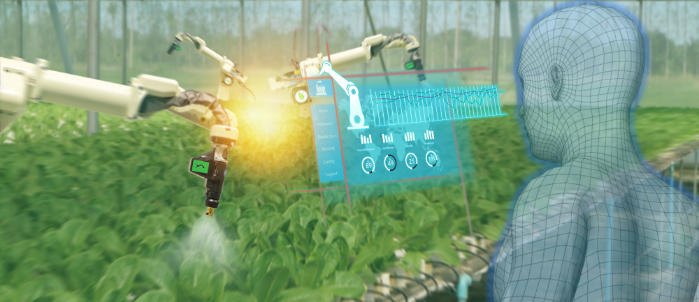
Quantification, monitoring, and more; at Xyonix, we use state of the art computer vision to automatically see and distill valuable insights across your aerial imagery, video and LiDAR collections.
Tired of relying on someone else’s models?
Unsure how to acquire aerial imagery and extract insights?
Confused on how to get started exploring an idea requiring aerial imagery?
Modern low cost drones, cessnas or satellites mounted with a wide array of remote sensing cameras including but not limited to multispectral, hyperspectral, and lidar generate incredible amounts of imagery. Images of a given geographical area may be taken at different times from different angles or altitudes in varying weather and lighting conditions. In addition, your application may require you to count things, like boats, cargo containers or individual plants. Your application may require monitoring of changes in time like the carbon offset of a given forest, the growth rate of plants, or stage of a roof top construction.


If mined effectively, aerial imagery can provide valuable insights. In order to effectively mine imagery, we at Xyonix regularly teach machines on behalf of our clients to see these vast collections and understand their content. State of the art computer vision (CV) technologies allow us to leverage hard fought machine knowledge gained from public imagery available on the Internet. Perhaps you are trying to wean yourself off proprietary models owned by another company so you can control your own destiny.
Regularly captured imagery can be simple to get — just give us your polygon and capture schedule and assuming the altitude is supported, we may be able to give you an API endpoint to pick up your images. Once you have the imagery though, the fun part of extracting insights starts. The CV capabilities we bring to our customers often help in multiple areas like video segmentation or imagery quantification.
Need help acquiring and making sense of your aerial imagery? Reach out and set up a free consultation. Maybe we can help.


Not sure?
Check out a recent podcast episode where we chat in depth with a company leveraging aerial imagery to help address climate change.